Mixed weather this week with good dry spells and some rain

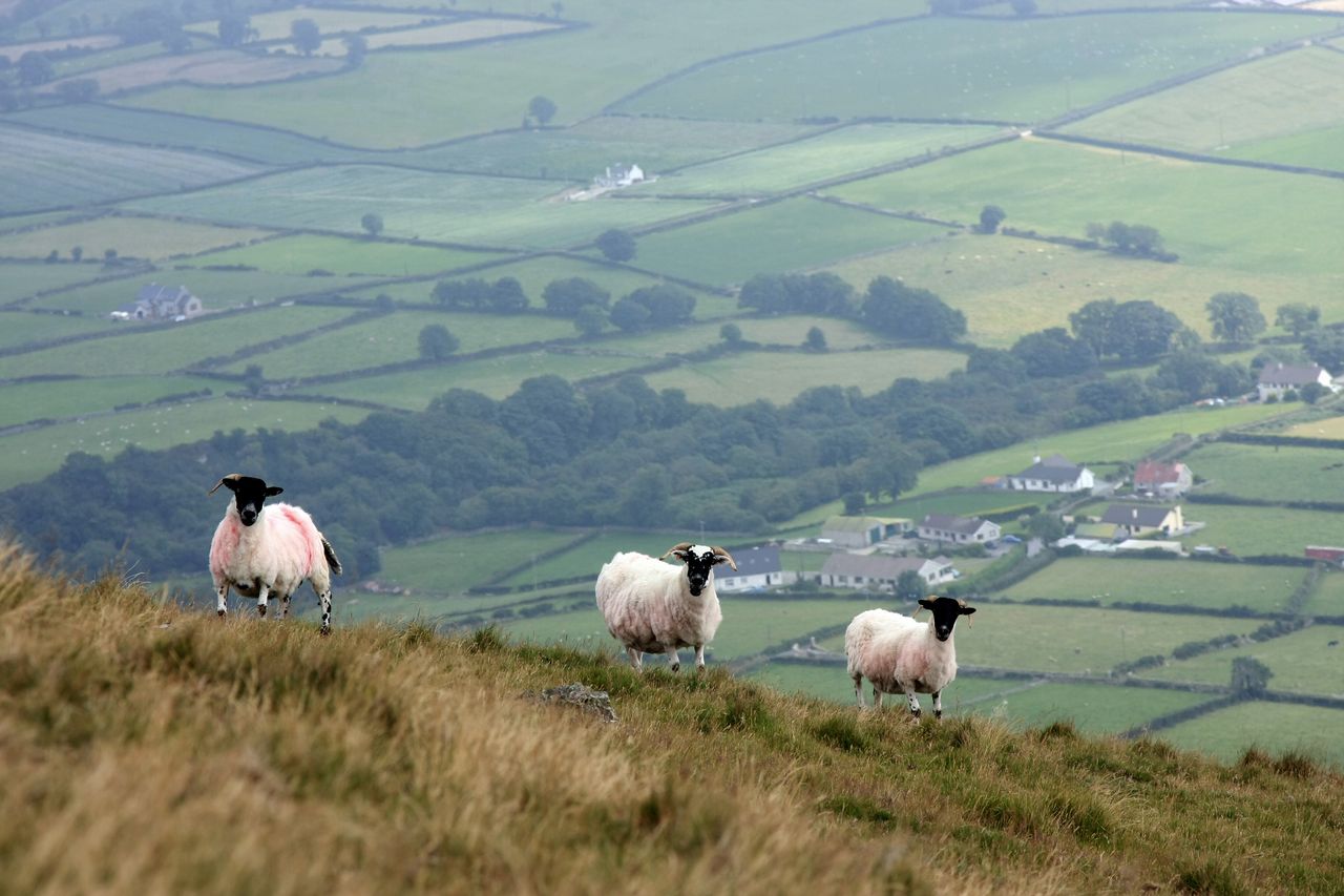
Met Éireann has said this week will bring a good deal of dry weather with some rain or showers at times.
Today (Monday, September 21) will be a warm, humid and mainly dry day, with the best of any sunny breaks in the south.
Highest daytime temperatures of 17° to 22° or 23°C, coolest in the west and warmest in the east in light to moderate south-westerly breezes.
Tonight will stay mild, humid and mainly dry with some fog or mist patches in places.
Cloud will build in the north-west overnight bringing some rain and drizzle. Overnight lows of 12° to 15° with light southerly winds.
Weather
Mainly dry on Tuesday in Leinster and Munster where there will be bright or sunny spells with the odd shower.
Rain and drizzle in the north-west will extend across Ulster and Connacht later in the day.
Light southerly winds with highest temperatures of 16° to 20° for most area, but ranging from 14° and 16° in the north-west.
The rain in Ulster, Connacht and west Munster will move south-eastwards to almost all areas on Tuesday night.
Lowest temperatures of 11° to 14° in light to moderate south to south-west breezes.
Rain will clear on Wednesday morning and be followed by drier, brighter conditions, including some sunny spells.
It will feel cooler with highs of 14° to 17° with light to moderate north-westerly breezes.
Dry with clear spells on Wednesday night with lowest temperatures of 6° to 9° in light variable winds backing south-easterly later.
Thursday will be dry and bright in the east, cloudier in the west where rain will develop in the afternoon and spread southwards.
Southerly winds will be fresh and gusty, highest temperatures of 15° to 19°.
Rain will continue for a time on Thursday night, clearing to the east later. Lowest temperatures of 10° to 13° with the south-westerly winds easing as the rain clears.
Friday will be mainly dry with bright or sunny spells and perhaps a few showers. Daytime highs of 15° to 18° in moderate to fresh west to south-west winds.
Current indications suggest that next weekend will be unsettled with rain or showers.
Met Éireann
In its latest farming commentary, Met Éireann said that rainfall levels will be above normal in the west and north-west over the next seven days.
Rainfall amounts will be close to or below normal elsewhere, the driest conditions will be in the south-east.
Overall, temperatures are expected to be near or slightly higher than normal. Soil temperatures are expected to remain above average.
Drying conditions will be generally moderate to poor this week.
There will be some opportunities for spraying today, while there may be limited opportunities for spraying on Tuesday in the south-east.
Soils are still driest near east and south-east coasts with soil moisture deficits (SMDs) between 4mm and 37mm.
In other areas, soils are close to saturation with some poorly drained soils across the west, north-west and the far south-west saturated and waterlogged.
Over the next seven days, soil moisture deficits away from the east and south-east are expected to reduce, becoming saturated or waterlogged.
Met Éireann has also advised that weather conditions conducive to the spread of potato blight will occur until Wednesday morning (September 23) in parts of the south, west and north-west.