May max temperature record broken last month


Last month saw the national May maximum temperature record exceeded by more than 2°C, according to the latest climate statement issued by Met Éireann.
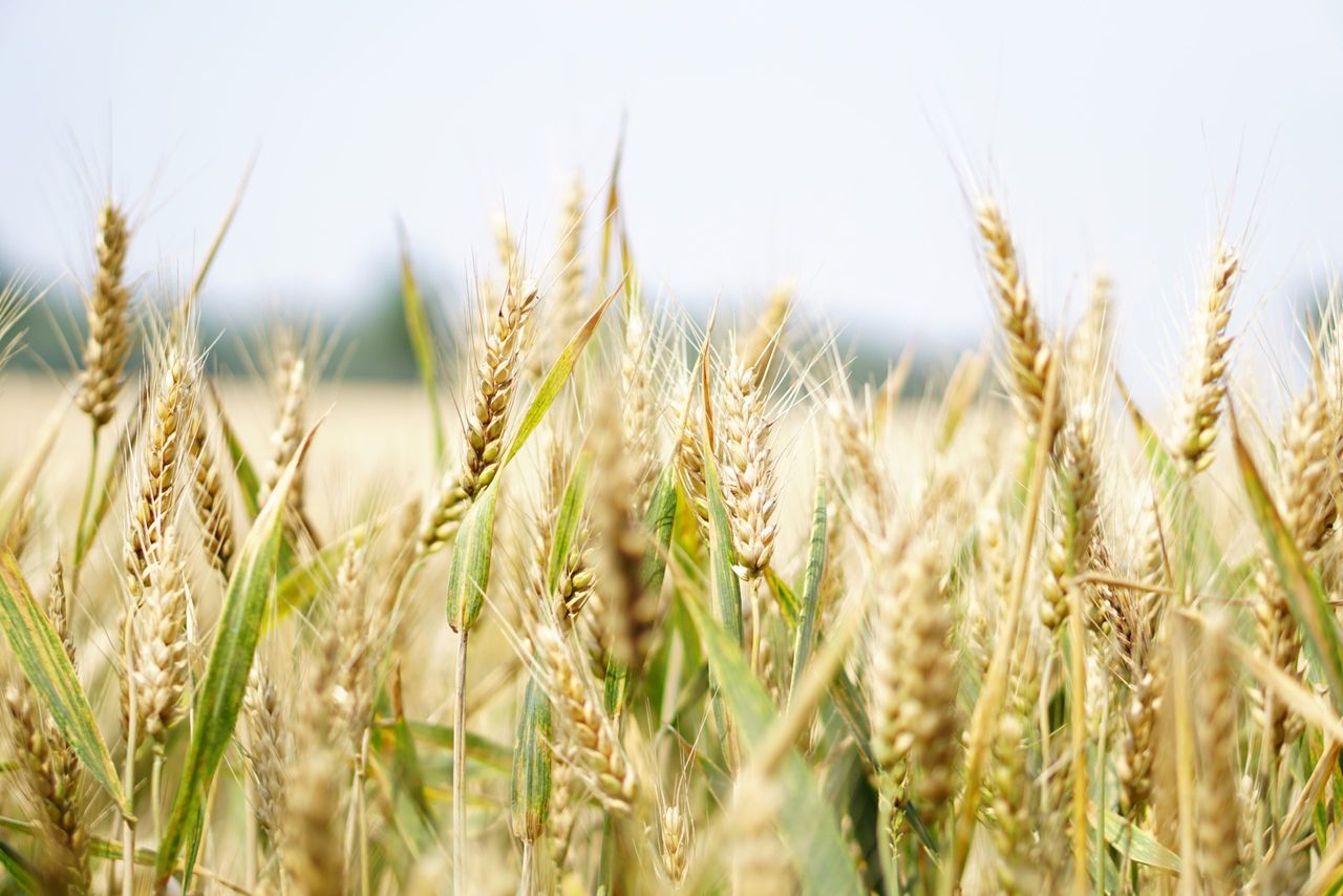
An intense area of high pressure combined with an unseasonably hot tropical airmass brought exceptionally high temperatures between Monday, May 25 and Wednesday, May 27.
The previous national record high temperature for the month of 28.4° set in Ardfert, Co. Kerry in 1997, was surpassed at a series of locations on Monday, May 25, before a greater number of stations reached temperatures in excess of 30.6° the following day.
- Abbeyfeale Co. Limerick with 30.9°;
- Clonmel, Co. Tipperary with 30.9°;
- Castleisland, Co. Kerry with 30.8°;
- Durrow, Co. Laois with 30.8°;
- Kilkenny (Greenshill), Co. Kilkenny with 30.8°;
- Killarney (Muckross House), Co. Kerry with 30.7°;
- Fethard (Parsonshill), Co. Tipperary with 30.7°.
Stations that provisional broke the record will now undergo rigorous investigation to determine the new Irish air temperature record for May.
May weather
The national mean May temperature was 12.54°, making it the seventh warmest May since 1900.
12.54° is 1.99° above the 1961-1990 LTA and 1.21° above the 1991-2020 LTA.
Eight of the 10 warmest Mays have occurred since 2001, while none of the 10 coolest Mays occurred recently.
May 2026 was drier than normal with 79% of the 1991-2020 LTA (62.7mm) and is ranked 31st driest May since 1941.
The highest daily rainfall total was 21.1mm at Mount Dillon, Co. Roscommon on Tuesday, May 19.
Summary
May 2026 was mild overall. A relatively cool first two thirds was followed by a very warm final third, according to Met Éireann.
It was dry in most places, especially in the east.
The first week began with low pressure to the south-west bringing scattered outbreaks of rain or showers interspersed with dry periods.
Blocking high pressure to the west over the mid-Atlantic introduced a cooler Arctic airmass over the country from the north on Monday, May 4.
The following two weeks saw high pressure to the west steer further Arctic airmasses over the country from the north, which kept it cool.
Rain or showers also moved down from the north-west at times later in the period. On Monday, May 18, Atlantic low pressure brought active frontal rain across the country from the south-west introducing a milder Atlantic airmass.
Low pressure stayed close by up to Thursday, May 21 bringing further rain or showers before high pressure to the south-east began to push north over Ireland.
The third week was dominated by an intense area of high pressure in the upper and lower levels of the atmosphere that covered most of western and central Europe, including Ireland.

An unseasonably hot tropical continental airmass also pushed north over Ireland on Sunday 24th of the month.
This resulted in exceptionally high temperatures for the month between Monday 25th and Wednesday 27th.
Thunderstorms broke out in the south late on Wednesday, May 27 before a somewhat cooler Atlantic air broke through for the final few days of the month bringing a return to frontal rain or showers interspersed with dry periods.