New mapping system for direct payments rolls out


The roll-out of the new land mapping database, the Land Parcel Identification System (LPIS), is ongoing according to the Department of Agriculture, Food and the Marine.
The roll-out seeks to update the system used to calculate farmers’ area-based scheme payments, the department says.
Developed to replace the current 25-year-old system, the new LPIS was first introduced in Co. Louth in 2019, and has been rolled out in an additional five counties in 2020, namely counties: Meath; Monaghan; Cavan; Leitrim; and Longford.
LPIS
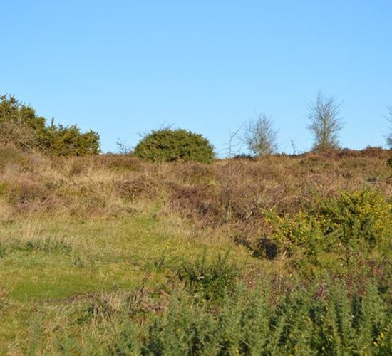
The LPIS is the department’s land database which underpins payments to farmers under area-based schemes such as: the Basic Payment Scheme (BPS); the Green, Low-Carbon Agri-Environment Scheme (GLAS); the Areas of Natural Constraint (ANC) Scheme; afforestation schemes; and the Organic Farming Scheme.
According to the Department of Agriculture, the overall objective is “to ensure the most efficient delivery of €1.6 billion of the EU-funded scheme payments to applicants, in line with regulatory requirements”.
The new system is operational in 2020 for: all land parcels in the five counties listed whether a farmer is based there or not; and for all land parcels declared in other counties by farmers based in the five counties.
Changeover
Information relating to the changeover to the new system was sent to the relevant farmers earlier this year to assist in the preparation and submission of their 2020 scheme applications.
The department said it will continue to roll out the new LPIS on a phased basis over the next two years, with all counties expected to be live in the new system by 2022.