Met Éireann: Unsettled weekend ahead with cold conditions initially

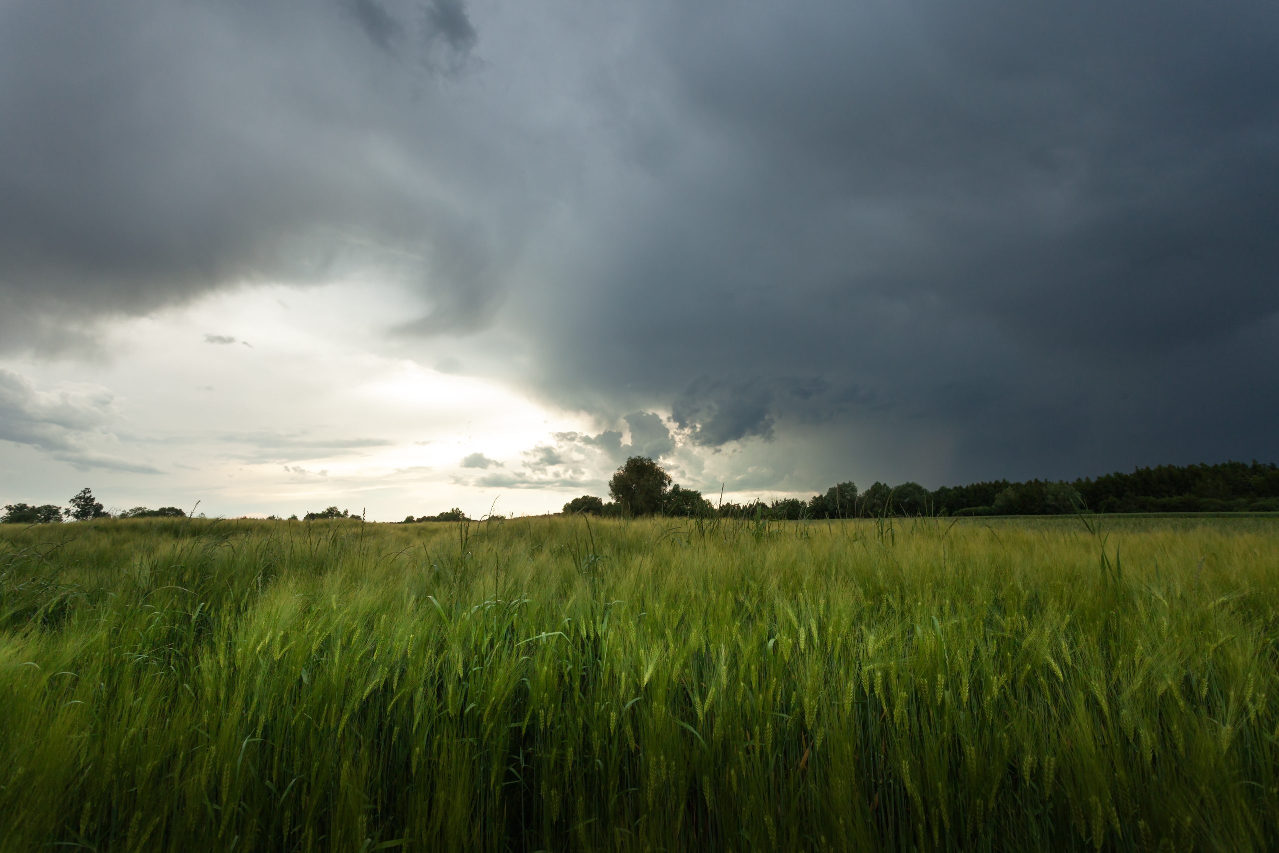
Met Éireann has said that the weekend will bring unsettled weather generally with rain turning wintry at times.
The national forecaster has issued two weather warnings for today (Friday, February 13).
A Status Yellow warning for spells of heavy rain in Dublin and Wicklow is currently in place and will remain valid until midday.
The rain could bring a risk of flooding and difficult travelling conditions.
A Status Yellow alert for low temperatures and ice for the entire country will come into force at 9:00p.m today and remain in place until 10:00a.m on Saturday (February 14).
The low temperatures will bring a risk of sharp frost and icy conditions in all counties.
This may cause hazardous travel conditions on road and underfoot, along with potential travel disruption.
Weekend
Today will be a cold day with dry and sunny conditions in the north and west; elsewhere there will be lingering cloud and rain.
The rain will gradually clear later in the day with just a few isolated showers following in the north and west. Afternoon highs of 3° to 7°C in moderate to fresh northerly winds, strong and gusty at times in the south and east, easing later.
Tonight will be very cold with lowest temperatures of 0° to -4° in light variable breezes.
It will be mainly dry, apart the odd wintry shower in Ulster and north Connacht.
Saturday will be cold, dry and bright initially with widespread frost and icy patches.
Cloud will build from the west as the day progresses, with rain spreading north-eastwards over the country through the afternoon and evening, turning heavy in parts.
Some of the rain may possibly fall as sleet or wet snow for a time, mainly in Connacht and Ulster.
Highest afternoon temperatures of 2° to 5° in mostly light southerly winds. It will become windy later as winds back south-easterly and increase fresh to strong and gusty.

Wet and windy initially on Saturday night, with spells of heavy rain and some sleet and snow for a time in the north and east.
Lowest temperatures of 0° to 5° with the fresh to strong and gusty south-easterly winds veering westerly and easing as the rain clears.
There will be sunny spells and showers on Sunday, some of the showers will be heavy with a chance of hail and isolated thunderstorms in coastal areas.
Highest temperatures of 7° to 11° with westerly winds increasing moderate to fresh and gusty, strong along western and south-western coasts.
Scattered blustery showers and clear spells on Sunday night. Some of the showers may merge to longer spells of rain at times in the north and west.
Lowest temperatures of 1° to 5° in moderate to fresh and gusty westerly winds.
The current outlook shows that Monday will be breezy with sunny spells and showers or longer spells of rain, some heavy falls are possible with a chance of hail.
Met Éireann
Met Éireann said that rainfall amounts over the next week will be above average for most areas, with one to two times the normal amounts expected.
Mean air temperatures will decrease with most places expected to be 1° or 2° below normal. Soil temperatures will also decrease but will remain above normal.
Drying conditions will be poor over the coming days, while spraying opportunities will be limited.
All poorly drained soils and some moderately drained soils are waterlogged, while all other soils are saturated.
Over the coming week, Met Éireann said there will be little to no improvement to soil conditions and more moderately drained soils will become waterlogged at times.