Met Éireann rain and wind warnings in effect

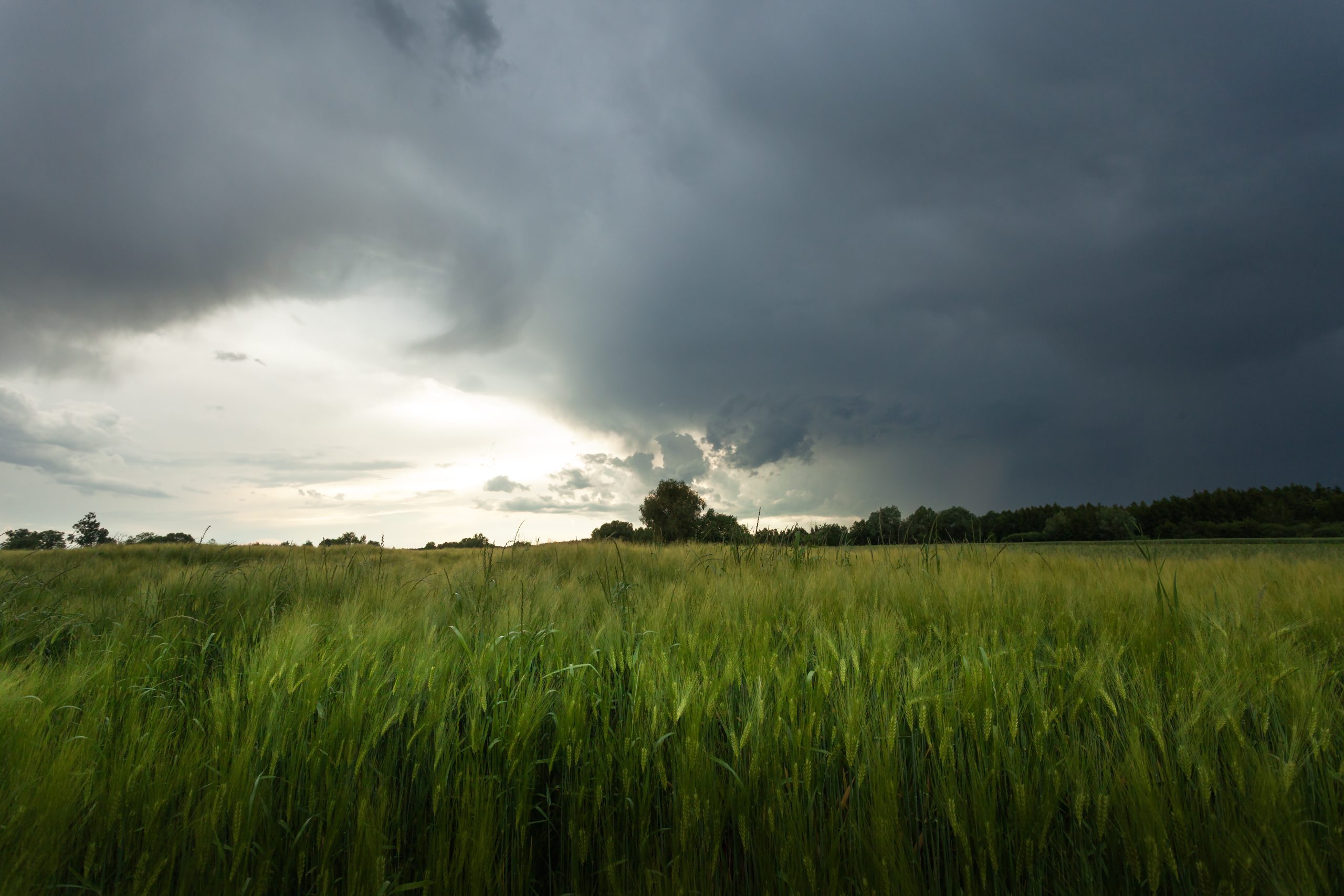
Weather warnings issued by Met Éireann for heavy rain and strong winds across the country are now in place.
A Status Yellow wind warning for the entire country will be in force until 6:00p.m today (Thursday, March 12).
The strong and gusty south-westerly winds may cause debris or loose objects to become displaced, along with some fallen branches or trees.
Road users are being advised to expect some difficult travelling conditions.
Met Éireann
A Status Yellow rainfall warning, which is valid until 3:00p.m today, will see heavy downpours and spot flooding in places.
The warning applies to Cavan; Donegal; Monaghan; Clare; Kerry; Limerick; Tipperary; Dublin; Kildare; Laois; Longford; Louth; Meath; Offaly; Westmeath; Wicklow and Connacht.
The UK Met Office has issued a Status Yellow wind warning for Northern Ireland until midday today.
The strong winds along with a spell of heavy rain will lead to difficult travel conditions in Northern Ireland this morning.
A gale warning for all coasts of Ireland and on the Irish Sea is set to remain in place until 7:00p.m tonight.The south to south-west winds will reach gale force 8 or strong gale force 9 at times
Weather
The national forecaster said that rain will spread from the west and north-west today, accompanied by fresh to strong and gusty southwest to west winds.
The rain will gradually clear south-eastwards this afternoon and it will turn colder as showers follow. Some of the showers will turn wintry in the north-west this evening.
Highest afternoon temperatures of 4° to 8°C in the north and west, 9° to 12° further south and east.
Tonight will be cold with clear spells and some scattered blustery showers, some of which will be mix of rain, hail, and sleet.
Temporary lying snow is possible, mainly across parts of the north-west and about higher ground elsewhere.
Met Éireann said that some heavy with isolated thunderstorms are also possible.
Lowest temperatures of 0° to 3° in fresh to strong and gusty south-westerly winds with gales along Atlantic coasts.