DAFM to use AMS for monitoring 7 ACRES actions in 2026

The Area Monitoring System (AMS) will be used for seven Agri-Climate Rural Environment Scheme (ACRES) actions in 2026.
The Department of Agriculture, Food, and the Marine (DAFM) has advised ACRES participants that it will again be using the AMS to ensure that farmers in area-based schemes, one of which is ACRES, have met their eligibility requirements for 2026.
AMS is defined as the regular and systematic observation, tracking and assessment of agricultural activities and practices on agricultural areas using Copernicus Sentinel Satellite data.
Satellite imagery
AMS interprets Sentinel satellite imagery which enables the department to determine agricultural activities on the 1.3 million declared land parcels in the country.
Parcels monitored by AMS will have colour-coded results: green; yellow; or red.
Parcels flagged by AMS as green and yellow indicate a degree of confidence that the land details in the farmer’s application have been verified by AMS and payments may be made.
Errors
A land parcel flagged by AMS as red, however, indicates an error which may result in a notification being issued to the applicant on their MyAgFood account, along with a request to submit geotagged photographs.
An error could include an ineligible crop sown to meet the requirements of a particular scheme, an incorrect crop declared on BISS (different to what AMS has identified on the ground) or the presence of an ineligible feature such as a roadway or residence.
AMS may be complemented with follow-up checks on the ground by a department inspector to provide further clarification, DAFM said.
Failure to respond to an AMS notification may result in a delay to scheme payments.
Seven actions
AMS will be monitoring seven ACRES actions again in 2026.
The department is reminding farmers of the ACRES actions to be monitored by AMS this year, some of which have key dates falling in March, as follows:
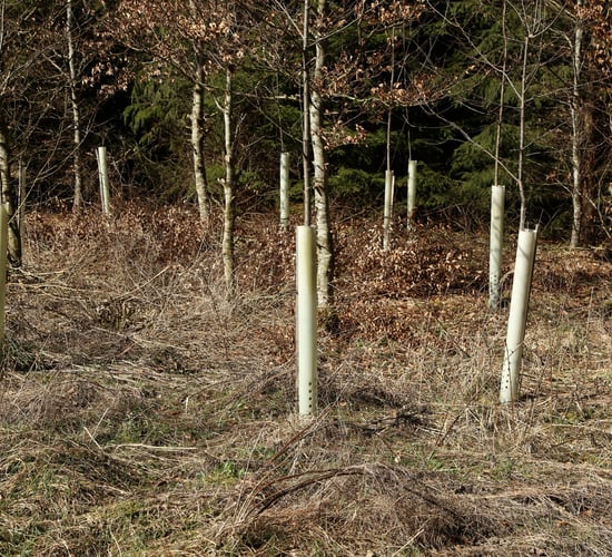
- Environmental management of arable fallow - AMS will check for establishment of a catch crop before September 15, 2026;
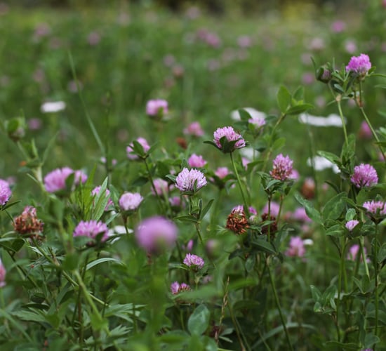
- Extensively grazed pasture - AMS will check for mowing events during the restricted period, i.e. March 15 to July 1, 2026;
- Riparian buffer zone (arable) - AMS will check for presence of a grass crop and mowing events during the restricted period, i.e. March 1 to August 31, 2026;
- Riparian buffer zone (grassland) - AMS will check for presence of a grass crop and mowing events during the restricted period, i.e. March 1 to August 31, 2026;
- Catch crops - AMS will check for establishment of catch crops before September 15, 2026;
- Winter bird food - AMS will check for establishment of winter bird food crop by May 15, 2026;
- Brassica fodder stubble - AMS will check for establishment before July 31, 2026.